Minnesota has one of the best ATV trail systems in the country. There are over 2,500 miles of designated State ATV Trails, mapped, signed and ready to give riders of all skill levels an offroad adventure. There are also tens of thousands of State and Federal Forest Roads that are open to ATVs.
 REGISTER YOUR ATV
To ride on State or Grant-in-Aid trails, your ATV must be registered with the Minnesota Department of Natural Resources (DNR), or have a trail pass. Trail passes may be purchased for nonresident ATV operators.
KNOW THE RULES AND REGULATIONS
The Minnesota DNR OHV Regulations booklet has everything you need to know about registering your ATV, the ATV classifications in Minnesota, and their operating laws. It is online at www.mndnr.gov/ohv. Request a printed copy by phone at 651-296-6157, or by email: info.dnr@state.mn.us. Before you head out to the trails, always check the open/closed status of OHV trails and State Forest road on the DNR website.
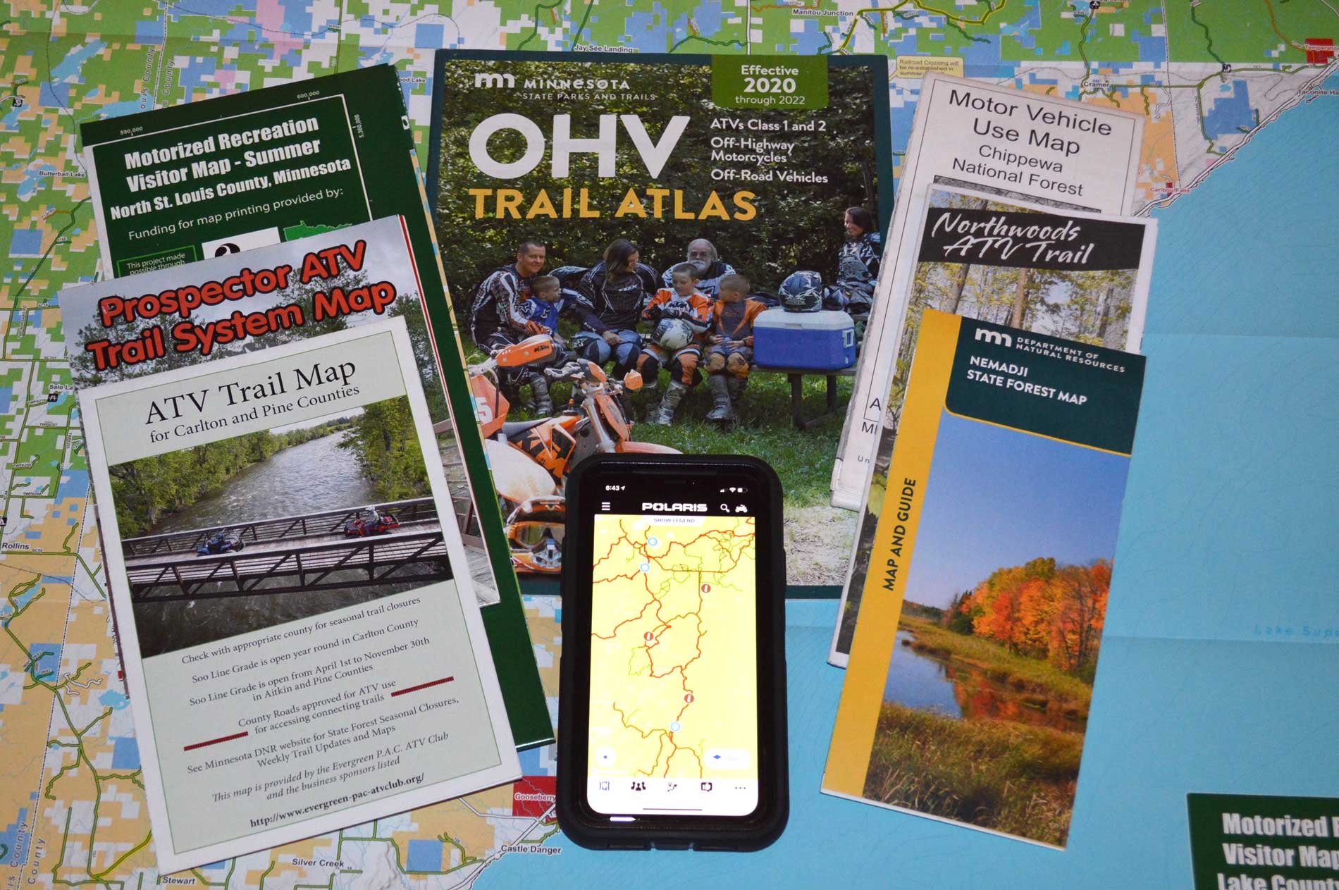
OHV TRAIL ATLAS
 This free, 80-page atlas shows 70 OHV State Trail maps, with descriptions and directions for trails open to OHVs (off-highway vehicles, including ATVs, OHMs and ROVs). Call or email the MN DNR to order. Individual maps can be printed from the DNR website: www.dnr.state.mn.us/ohv.
DIGITAL MAPS
Geo-referenced pdf maps of the OHV State Trails are available free on the Avenza App. Search the map store: MNDNR + (trail name).
MOTORIZED VEHICLE USE MAPS
Printed MVUMs show federal Forest Roads open to all vehicles including OHVs, and those open only to Highway Legal Vehicles. Free at Superior and Chippewa National Forest offices, and online at Forest websites.
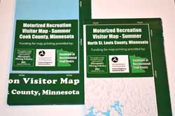
MOTORIZED RECREATION VISITOR MAPS
 Superior National Forest
These free maps show legal routes on GIA State Trails, roads and routes on county, state and federal public lands open to registered ATVs, ORVs, OHMs. One map shows Cook and Lake Counties. A second map shows St. Louis County. Available at: DNR St. Paul office, Area Offices in Tower and Two Harbors. Chamber offices in northern Minnesota, Superior National Forest office in Duluth, and District Offices. Digital versions are available on the Avenza App map store. Geo-referenced, shows rider location on smartphone or tablet. Works without cell coverage. Map titles are: “CRTU Superior National Forest Summer: (County Name)." CRTU mapping project made possible through a partnership with the Superior National Forest, Minnesota DNR Parks & Trails, and the three Counties. Major funding provided by Yamaha and Polaris grants, and taxes from the Minnesota Mining Industry.
 ATV CLUB TRAIL MAPS
Many ATV Minnesota member clubs have printed maps for the trail systems they have built and maintain. Check club websites and Facebook pages for availability.
MOBILE APPS
A number of apps are available on the App Store or Google Play. When downloaded, they show a rider’s GPS location on OHV trails in Minnesota and across the U.S. They include: Avenza Maps®, Ride Command®, GAIA GPS, and OnX Offroad.